 ™
™616 Lead Cleanup Sites Just Got Mapped Across L.A. County
Each point links to the state's own file on that site, including cleanups closed with lead left in place.
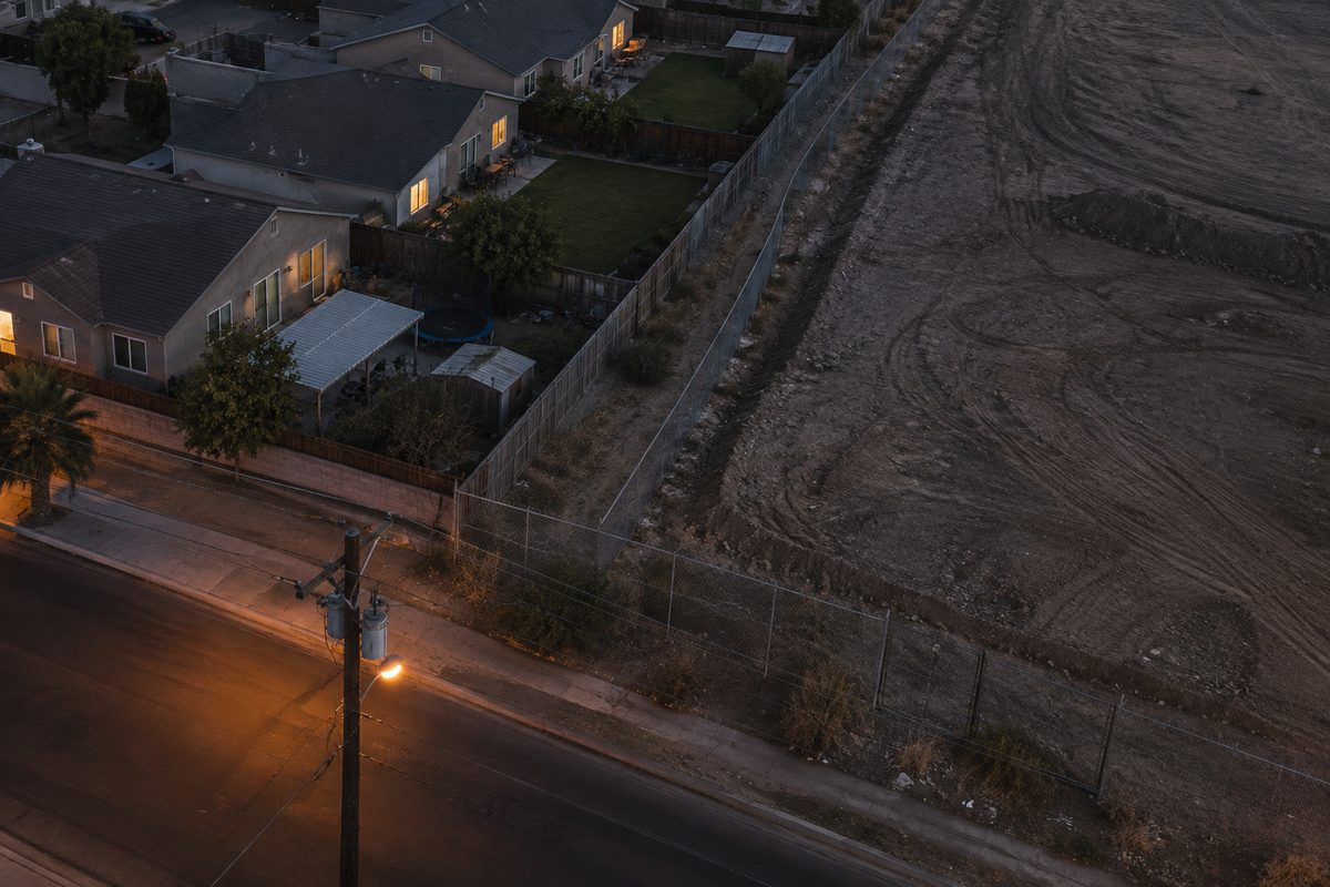
A new map plots 616 lead cleanup sites across Los Angeles County. They range from large remediations down to sites the state treats as a negligible risk of human exposure. LA Public Press published the map on September 16, 2026, the fifth story in its "Lead City" series. The outlet asked the California Department of Toxic Substances Control for every active cleanup where lead is a contaminant of concern, plus every closed one where lead was left in the ground. Nothing like it existed for the county before, the outlet said.
That second category is the one a renter near an old industrial parcel has to think about. Closed doesn't mean gone. Each dot on the map links to the site's page on Envirostor, the state's public file, where the cleanup's status and history are laid out.
There's a caveat attached to that link. When oversight of a cleanup moves to a different agency, the toxics department doesn't always keep Envirostor current. Some of what's posted may be years behind. The map's information is current as of September 16, 2026.
Lead is a neurotoxin. Bans on leaded gasoline and lead paint cut exposures over the decades, but it's still widespread in cities, and it's found disproportionately in largely low-income Black and Latino neighborhoods, according to LA Public Press.
The map isn't the full inventory, and the outlet says so in its own caption: it "only tells a portion of the story." Left out are the soil studies done after the 2025 wildfires in Pacific Palisades and Altadena. So are years of independent testing at county homes, schools and parks by researchers working on their own. Agencies have sometimes published unusually detailed maps of their own sampling. Those aren't folded in either.
So 616 is a floor, not a census. It's the count of what the state carries on its books as a lead cleanup in this county. That's a narrower thing than the count of places where lead sits in the dirt. Nobody has mapped the second one comprehensively.
Daniel Talamantes did the mapping, and Dan Ross did the reporting. The series was produced through the USC Center for Health Journalism's California Health Equity Fellowship.
Readers who know of testing data the map missed are asked to send it to lead@lapublicpress.org.
Source: lapublicpress.org, retrieved September 17, 2026.
Comments 0