 ™
™A Red Flag Warning Doesn’t Tow Your Car. A Red Flag Day Does.
The city’s own map names 648 street segments, roughly 114 miles of curb — and the sign on the pole decides.
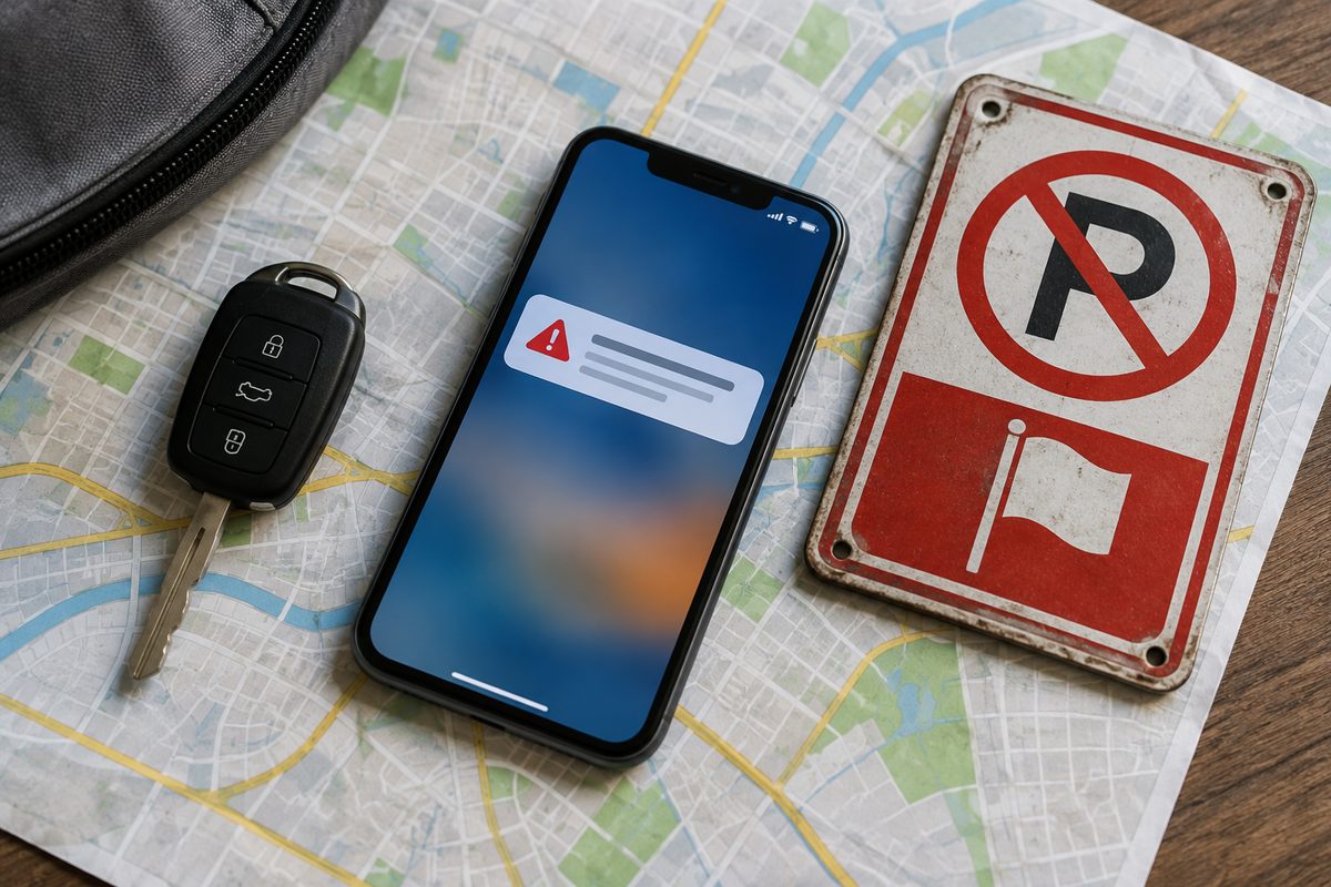
You're wondering whether the Red Flag Warning you just heard on the radio means you have to move the car off the hill tonight. In the City of Los Angeles, it doesn't — not on its own. The thing that empties those curbs is a separate declaration with a nearly identical name, made by a different agency, and the Los Angeles Fire Department's own page keeps a question in its FAQ for people who mix the two up: why do radio and television say there's a Red Flag condition when the city isn't enforcing parking restrictions? Because broadcast warnings are written for a wider community than the city, LAFD answers, and the only way to know is to check the city.
Here is the distinction, in one line. The National Weather Service issues a Red Flag Warning, a fire-weather forecast covering whole mountain ranges and valleys. The Los Angeles Fire Department declares a Red Flag Day, which is the thing that turns the city’s marked hillside curbs into tow-away zones. The department defines its conditions plainly: wind speeds of 25 mph or more and humidity of 15 percent or less. The program has run on those terms since January 1, 2006.
The penalty is worth stating early, because people assume it's a ticket. It isn't. LAFD's page says illegally parked vehicles in posted locations "will be towed." It also doesn’t happen often, which is part of why people are caught out: the department puts the average at four to seven Red Flag Days a year, with a maximum, over the past years, of twelve.
Step 1: Find out whether your curb is one of the posted ones
Only posted blocks are restricted. LAFD says the Department of Transportation installed "more than 1,700 signs" to mark them, and the selection wasn't done by map alone: fire station commanders were asked to survey their own districts for narrow roads, tight curves and critical intersections — choke points, in the department's word — and the Fire and Transportation departments reviewed each location before a sign went up.
The city publishes the result as a map layer, and we pulled it and counted. The layer is called Red Flag Restricted Areas, it lives on the city's own mapping server, and it holds 648 line segments. Six hundred and eleven of them carry a street name, and those names resolve to 427 distinct streets. Added up, the segments run 113.7 miles — a little over a hundred miles of curb in one city that stops being parking on a windy morning.
The segments are not evenly spread. Paseo Miramar carries 13 of them, more than any other street in the file. Hollyridge Drive carries 12. Stanley Hills Drive has seven; Glendower Avenue and Morro Drive have six each; Bryn Mawr Drive, Tigertail Road and Hillside Avenue have five. Those are the streets the file cuts into the most pieces, which is another way of saying they are the ones where the geometry changes block by block.
One honest limit on that file, and it matters more than the counts. The layer's own metadata says it was created in November 2015 and last modified in February 2018. A map that hasn't moved in eight years is a planning document, not an enforcement record. The sign on the pole is the rule. If your block has a "Red Flag Days" no-parking sign, the restriction applies there when a Red Flag Day is declared; if it doesn't, it doesn't — and the map is where you go to find out which blocks to walk, not the last word on whether you'll be towed.
For a picture rather than a data file, LAFD links an interactive map of the restricted areas from its alert pages. There's also an address lookup: LAist reported in 2017 that entering an address at the city's NeighborhoodInfo site returns a yes or no beside "Red Flag Parking Zone." That tool has moved since — the old neighborhoodinfo.lacity.org address now redirects to neighborhoodinfo.lacity.gov — and we could not load it from here to confirm the field is still on the page, so treat it as a second opinion and the sign as the first.
Step 2: Subscribe now, not during the wind
LAFD names four ways to learn a Red Flag Day has been declared, and they are not equally fast. LAFD's alert system pushes text, phone or email notifications to anyone who has opted in. The status banner at lafd.org/redflag timestamps itself — when we checked, it read "September 14, 2026 2:19am" above the words RED FLAG PARKING RESTRICTIONS ARE NOT IN EFFECT. Local news outlets have agreed to say so during traffic and weather segments. And every fire station flies an actual red flag during a declaration, which is the lowest-tech answer on the list and the one that works when the power is out.
Here is the part that catches people who did everything right years ago. LAFD's page carries a note that in July 2025 the Red Flag site moved to a new platform. Existing subscribers who are happy with their contact details don't need to do anything. Anyone who wants to update a phone number or an email address has to create a new account on the new system. So if you changed your number after mid-2025 and edited nothing, the alert is still going to the old one.
The alert system is opt-in and, LAFD says, stores nothing beyond what the registrant provides, and the department describes the data as not shared, distributed, traded, leased or loaned. Worth noting that the privacy question in that FAQ still carries an unresolved editing note in the live page — the heading ends "STILL ACCURATE?" — which is a small thing to find on a public safety page and an easy one to fix.
Step 3: If the car is already gone
A red flag tow lands you in the city's ordinary towed-vehicle process, and the honest answer about cost is that the city doesn't post one. The Parking Violations Bureau's towed-vehicle page says only that there "will be OPG fees for towing and storage of your vehicle" and that "these fees are dependent upon the length of time the vehicle is stored." OPG is the Official Police Garage — the private yard the city contracts with, and the place that actually has your car.
The sequence is fixed. Call the city's 24-hour line at 1-866-561-9742 or go to a Public Service Center; a representative tells you which garage holds the vehicle and issues a Vehicle Release Order. You pay the garage before it releases the car. If the tow was for five or more delinquent citations you'll also need proof those fines are paid, and if it was a registration issue you need current registration or a temporary operating permit. Everything — fines, towing, storage — comes due within 30 days, after which the page says the vehicle may be lien sold.
None of that is red-flag-specific, which is the point. The restriction is unusual; the consequence is the same machinery as any other tow, and it starts charging storage the day it starts.
Step 4: Cross a city line and the rule changes underneath you
The LAFD program governs the City of Los Angeles. It does not govern the cities the hills run into, and those cities have not copied it — they have each written their own trigger. This is the part worth knowing if you park in one place and live in another.
Beverly Hills declares its own Red Flag Days through its own fire department, and its published criteria are tighter and more specific than the city's: relative humidity of 15 percent or less with either sustained winds of 25 mph or greater with frequent gusts of 35, and a burn index of 151 or higher. The fire chief can also declare one in response to an extreme hazard such as widespread lightning strikes. Sixteen hillside streets are designated, among them La Altura Road, Calle Vista Drive, Schuyler Road, Foothill Road north of Sunset and Benedict Canyon Drive north of Sunset. Vehicles "can be cited and or towed." And the exemptions are narrow enough to be worth memorizing: per the city's own page, the only two are attended commercial delivery vehicles actively making deliveries and city vehicles on official duty. Being a resident is not an exemption. Having guests is not an exemption. Beverly Hills runs a Red Flag hotline at 310-288-1444, and takes Nixle sign-ups by texting BEVHILLS to 888777.
La Cañada Flintridge is newer, and it inverts the whole distinction this piece opened with. Its council approved a No Parking During Red Flag Warning Program on November 18, 2025, and the trigger there is exactly the National Weather Service warning that does not move cars in Los Angeles — issued, as the city explains it, when sustained winds of 25 mph or greater and humidity below 15 percent are expected within 24 hours. The restricted streets are defined by geometry rather than by a hand-drawn list: both sides of all collector streets, both sides of any street narrower than 30 feet, and the ingress or egress side of streets with a single access point and of evacuation routes that need to stay two-way. Signage is year-round, the city says, and notification runs through the website, social media, pre-recorded voice messages and AlertLCF texts and emails. Citywide outreach began in December 2025 and continues through 2026 and 2027, so the signs are still going up.
Read those three side by side and the practical lesson is that one broadcast means three different things within a few miles. A Weather Service warning is the operative trigger in La Cañada Flintridge, a coincidence in Los Angeles, and not quite the standard in Beverly Hills, which wants a burn index number the forecast doesn't lead with. If you commute across those lines, you are subject to whichever rule your car is sitting in.
The three that matter
Of everything above, three things decide whether this ever costs you money. The sign, because it's the only thing enforced and it's already on your street or it isn't. The subscription, because the declaration can come overnight and the notification is the only version that reaches you while you're asleep — and because a contact detail you changed after July 2025 may be sitting in an account you no longer use. The city line, because the rule that applies is the one where the car is parked, not the one where you live.
"Two things going on here," LAFD spokesperson Brian Humphrey told LAist when the outlet explained the program. "One, we want people to evacuate safely if there is danger. And two, we want to be able to get to the fires safely and quickly."
So do the two-minute version this week, while the wind is down. Open the LAFD map and find your block. Walk to the nearest pole and look for the words "Red Flag Days" under the tow-truck symbol. Then open the notification page and either register or sign in and read back the phone number it has for you.
Comments 0