 ™
L.A. County's Longest Car-Free Bike Paths, Ranked. The Beach Is Third.
Ranked by the miles you can ride on a path with no car beside you, plus where each one starts and ends.
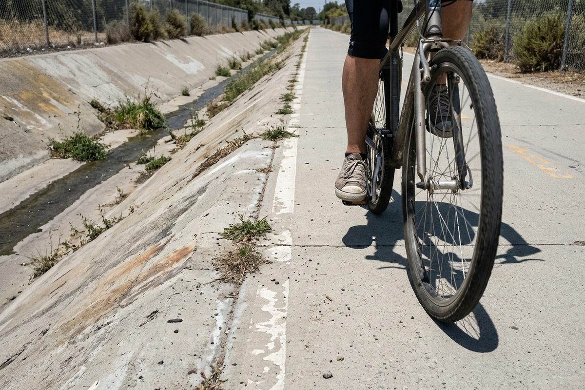
The longest ride in Los Angeles County with no car beside you isn't on the beach. It's the San Gabriel River Trail, which the county parks department lists at 37.8 miles from Azusa to Seal Beach.
The famous one, the Marvin Braude Bike Trail on the sand, comes in third, behind two river paths. That's the hot take I'll defend. The rule is simple: the order is miles of path you get to yourself, and a street bike lane doesn't count.
1. San Gabriel River Trail: Azusa to Seal Beach
The county page gives it 671 feet of elevation gain and calls it easy. Streetsblog L.A. called it 35-plus miles in a 2020 guide to car-free family rides. Go by either number and it beats No. 2 by at least seven miles.
2. LARIO Trail: El Monte to Long Beach
L.A. County Public Works says the LARIO Trail runs 28 miles and was built by the U.S. Army Corps of Engineers. It starts at Peck Road Water Conservation Park in El Monte and follows the Rio Hondo channel through Whittier Narrows.
From there it picks up the lower L.A. River past Paramount and South Gate and ends at the Pacific in Long Beach. If you know the Rio Hondo path, you've already ridden the top of this one, so it doesn't get a separate entry.
3. Marvin Braude Bike Trail: Will Rogers State Beach to Torrance Beach
L.A. County Beaches & Harbors calls it a 22-mile paved path, open year-round. That same page also lists a stretch the county doesn't maintain: a bike lane on Washington Boulevard, from north of Admiralty Way to Venice Beach.
Streetsblog's directions through Marina del Rey also use a short bit of Washington Boulevard sidewalk. So a car is beside you for part of those 22 miles. It still has six miles on No. 4, and the ocean doesn't hurt.
4. G Line bike path: Chatsworth Station to Valley College
Streetsblog counted 16 miles of path next to the Metro busway, from Chatsworth Station to just below Valley College. For the last two miles to North Hollywood, it said, there are only on-street bike lanes.
Streetsblog called the path "flat, well landscaped, pleasant," but said it crosses lots of big streets at grade. That means cars cut across in front of you instead of riding beside you. This is the placement I'm least sure of, because the count is from 2020.
5. L.A. River, Glendale Narrows: Griffith Park area to Figueroa
Streetsblog called this the "central 8.5-mile" stretch of the river path. Its directions get riders on from Riverside Drive at the Griffith Park end and off at the Riverside Drive bridge by North Figueroa Street.
6. Ballona Creek Bike Path: Culver City to Marina del Rey
The Baldwin Hills Conservancy says the path runs about 7 miles from Syd Kronenthal Park in Culver City to the beach. It posts hours of 8 a.m. to sunset daily. Instead of crossing major streets, the path drops down ramps and goes under them every half-mile to a mile.
At the ocean end it meets the beach path. That's how Streetsblog built a 13-mile one-way ride out of the two, finishing at the Santa Monica Pier.
7. Expo bike path: Santa Monica to Overland Avenue
Along the E Line, the route is a mix of bike path, bike lanes and shared lanes, Streetsblog wrote. Its longest piece of real path runs about 4 miles, from the 17th Street/SMC station to Overland Avenue.
8. Burbank Chandler Bikeway: North Hollywood station to Burbank
It's 3 miles long, according to Streetsblog. Its guide called the path "very flat, with few crossings" and noted that it starts right at the North Hollywood station. The author rides it with his daughter. "It's my daughter's favorite," Streetsblog L.A.'s Joe Linton wrote. The shortest entry here might be the easiest one to love.
Before any of these, check the sky. Streetsblog says L.A. County river paths close in rainy weather, and it flagged Ballona the same way.
Then take the train to No. 1. Streetsblog's directions start at Duarte/City of Hope station: through a gate on the south side of Duarte Road, right along a short dirt road, then onto the trail on the left a third of a mile later. Its first climb is up onto the Santa Fe Dam.
Source: Los Angeles County, retrieved October 30, 2026. Other sources: la.streetsblog.org, Los Angeles County (2), Los Angeles County (3), State of California.
Comments 0