 ™
™No Hurricane Is Headed for L.A. Tropical Storm Marie's Waves Are.
No coastal watches or warnings are in effect, and the only Southern California hazard named is life-threatening surf and rip currents.
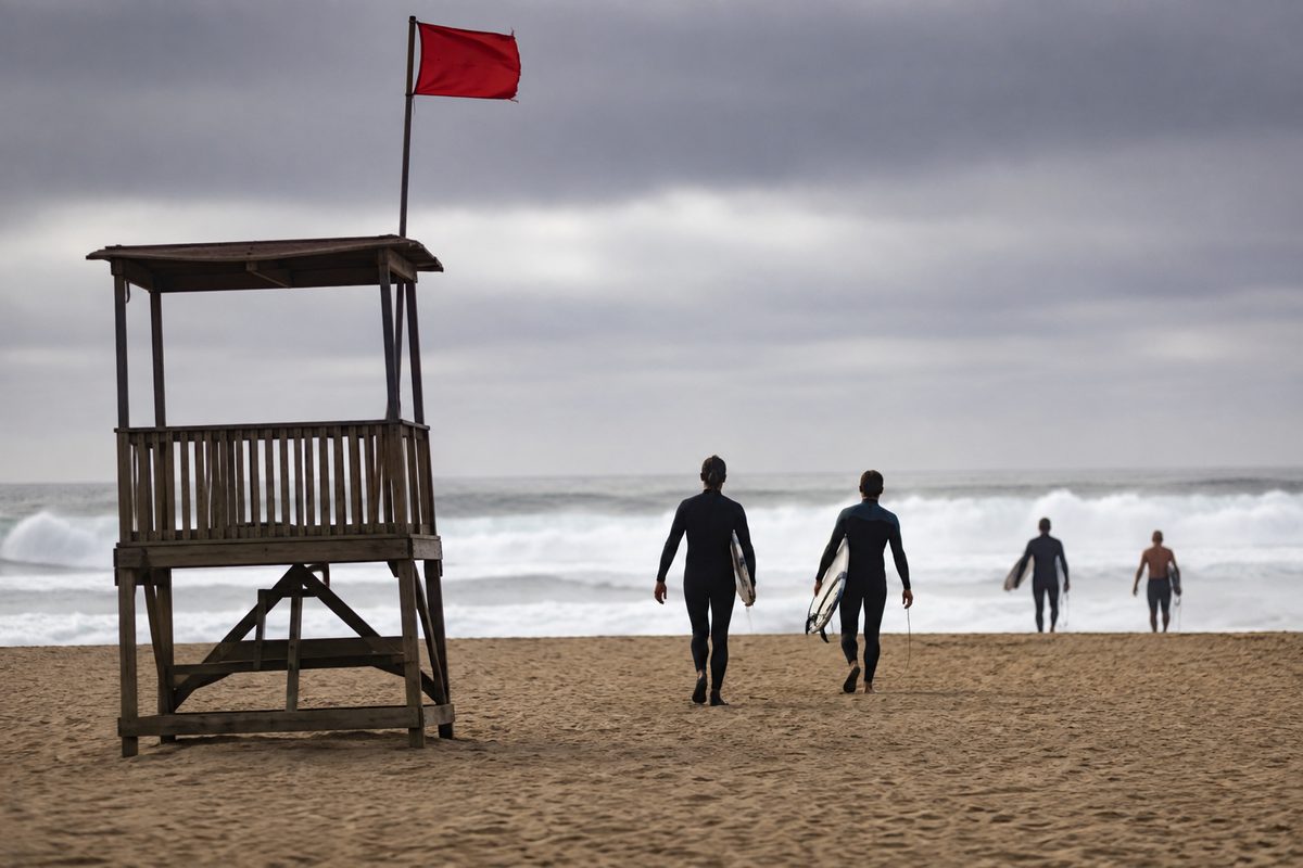
Tropical Storm Marie sat about 435 miles south of the southern tip of Baja California, with maximum sustained winds of 65 mph. Those figures come from public advisory number 5, issued by the National Hurricane Center in Miami. The advisory went out at 2 a.m. MST on September 2, 2026. There are no coastal watches or warnings in effect, it says.
Here's what that means for anyone in Los Angeles planning a beach day over the holiday weekend. The storm isn't coming here. The water it's pushing is, and the only mention of Southern California anywhere in the advisory sits under hazards affecting land, where the subject is surf.
Swells from Marie are expected to hit the coasts of southwest Mexico and Baja over the next few days and, forecasters say, to reach Southern California by the weekend. The advisory's language about what they'll do here is blunt: "These swells are likely to cause life-threatening surf and rip current conditions."
The hurricane talk isn't invented. The advisory's own headline line reads "...MARIE FORECAST TO BECOME A HURRICANE LATER TODAY...", and some strengthening is forecast over 48 hours. But the track runs away from us. A turn toward the west-northwest was expected later Wednesday and forecast to hold through Friday, with the system moving at 10 mph. Tropical-storm-force winds extended up to 185 miles from the center. The minimum central pressure was 994 millibars.
The other storm crossing feeds this week is Hurricane Karina, and it has no Los Angeles angle at all. The center's public advisory on Karina was issued at 11 p.m. HST on September 1, 2026. That's advisory number 24. It puts the storm at Category 4 strength, with maximum sustained winds of 145 mph. Karina was roughly 1,440 miles west of the southern tip of Baja California, moving west at 12 mph. Under hazards affecting land, that advisory says: "None."
The local forecast office is pointing at the same thing the Miami advisory is. The National Weather Service Los Angeles/Oxnard page carried a holiday-weekend hazard card. It rated a "High Chance" of "Large waves & strong rip currents." That page was last updated at 6:18 a.m. PDT on September 2, 2026.
Two true things, side by side: Marie is 435 miles south of Baja's tip and forecast to become a hurricane, and the single thing any advisory sends toward Los Angeles County is a swell. The advisory puts no day or hour on that swell, only the weekend, so the arrival window is the thing to watch rather than the storm's category.
Advisory 5 was signed by the hurricane specialist Blake, with the next complete advisory scheduled for 8 a.m. MST. Beach plans made now should be re-checked against that one, and against the Los Angeles/Oxnard office's own updates, before anybody swims out past the break.
Source: sfgate.com.
Source: sfgate.com, retrieved September 2, 2026.
Comments 0